
Switch Language
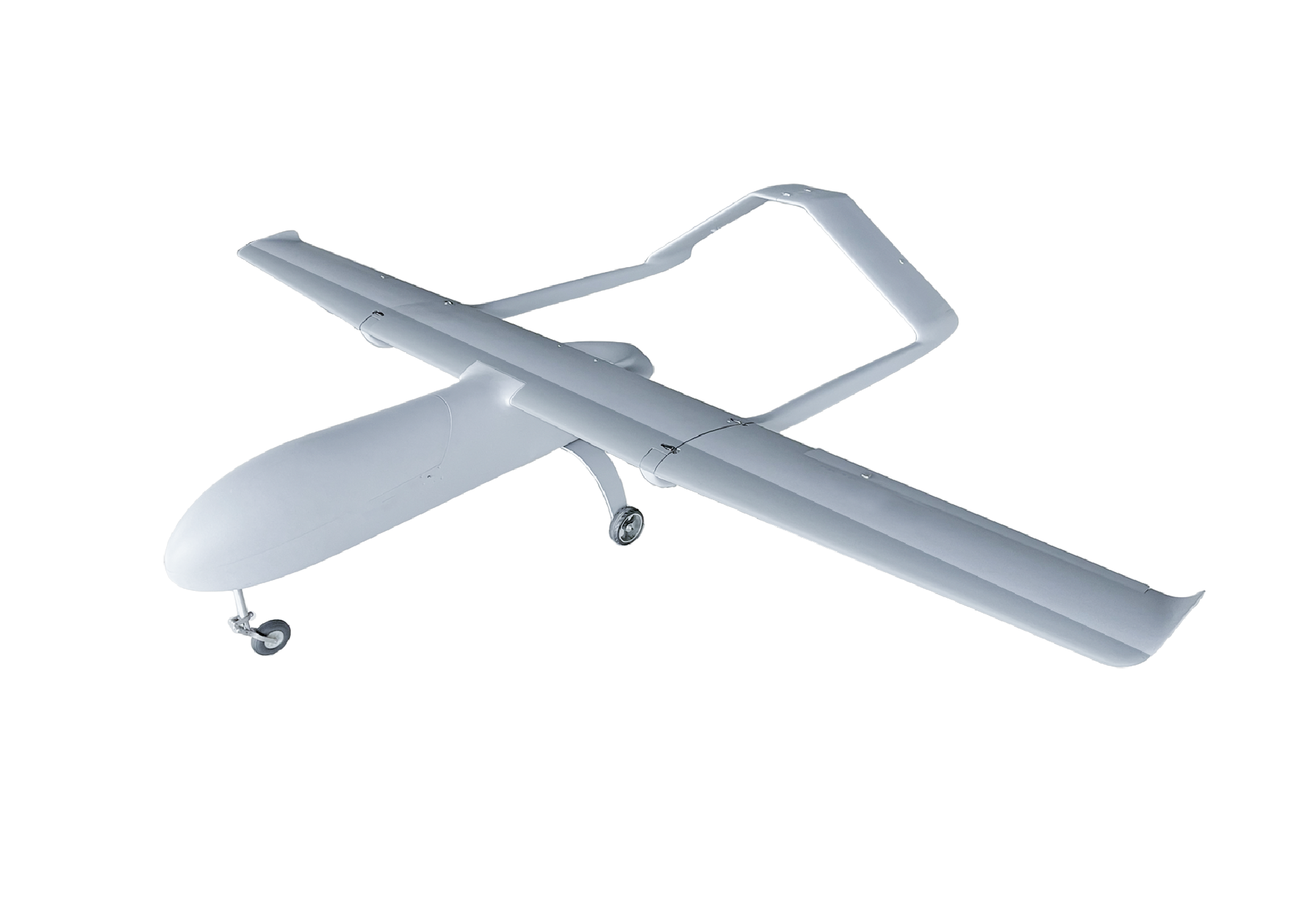
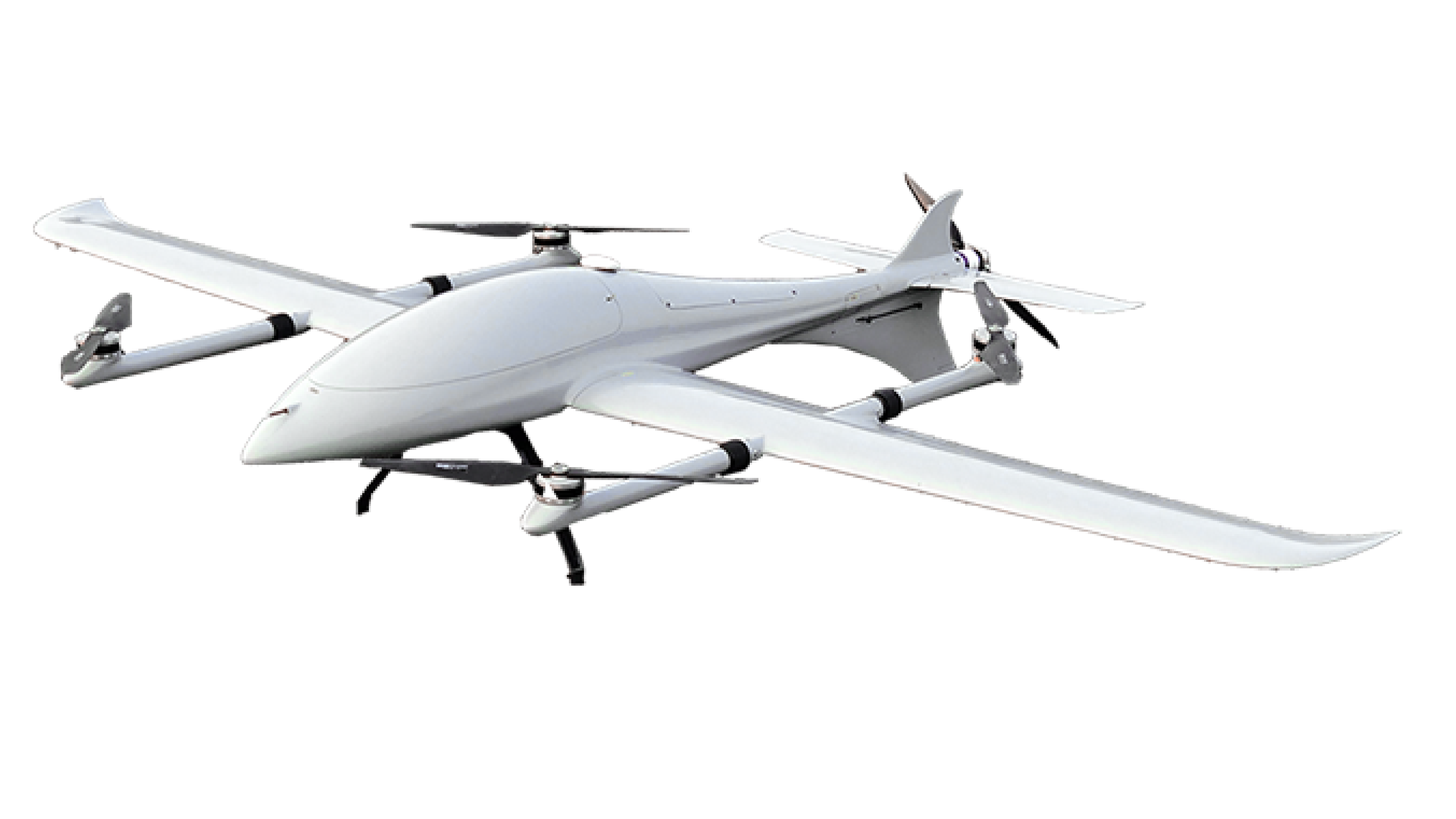
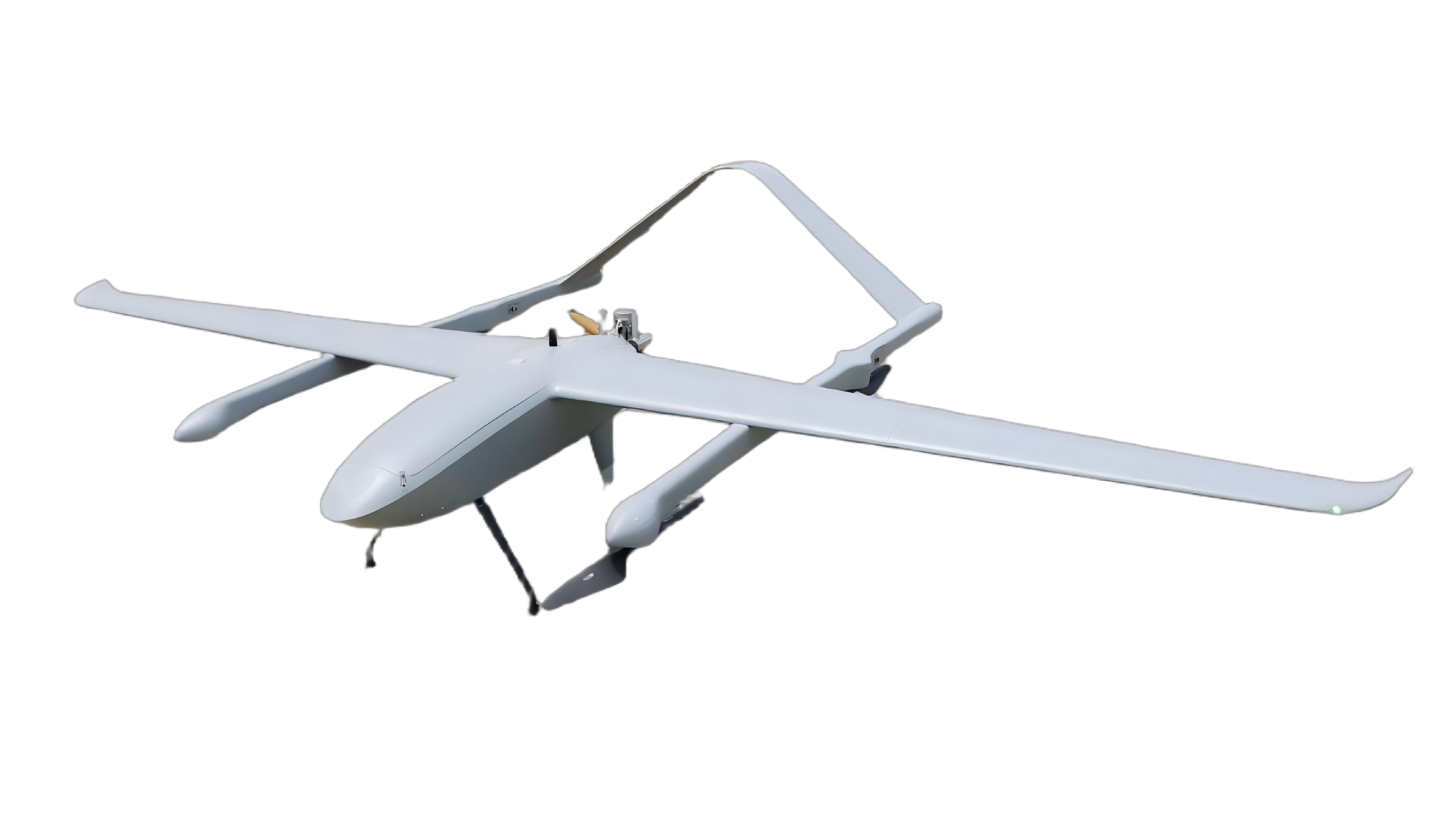
Y18 VTOL Fixed-Wing Drone

Y18 VTOL Fixed-Wing

Fuel-hybrid powertrain  |  Long endurance

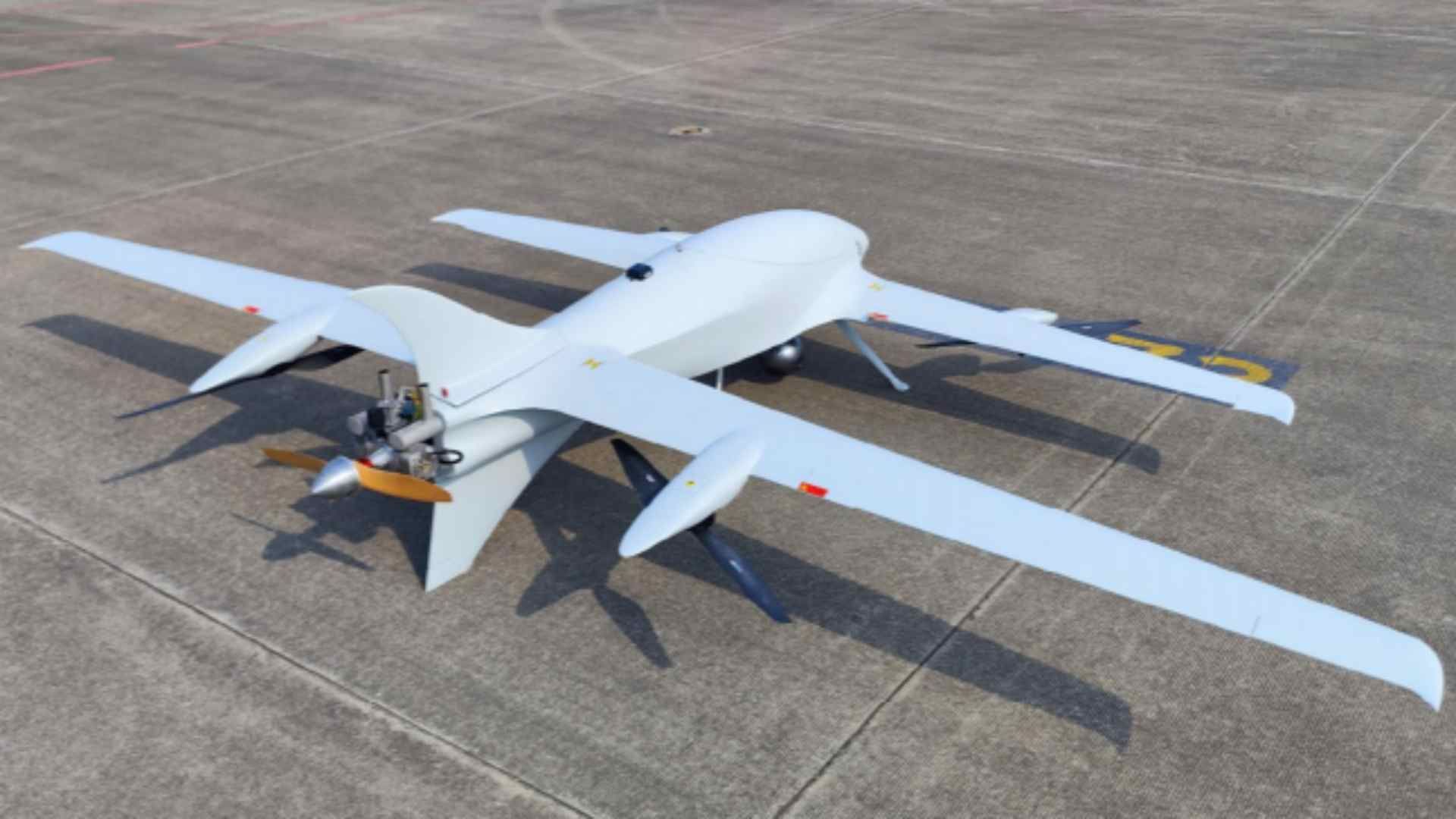
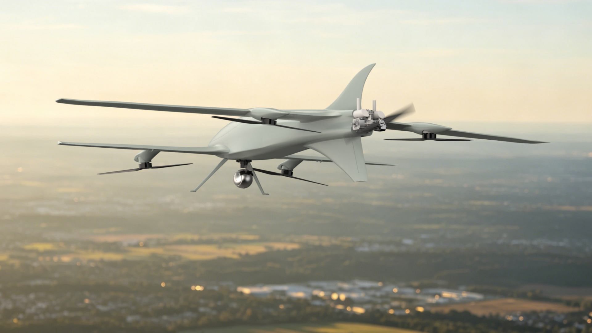
Y18 is a hybrid inspection drone platform built for routine long-range missions. Supporting LiDAR mapping, airspace observation, terrain reconstruction, and geographically distributed aerial data capture, it combines hybrid endurance with rapid VTOL deployment. The platform pairs a hybrid mapping UAV architecture with modular payload integration for large-scale geospatial workflows across remote operating areas.

Geospatial & Infrastructure Applications

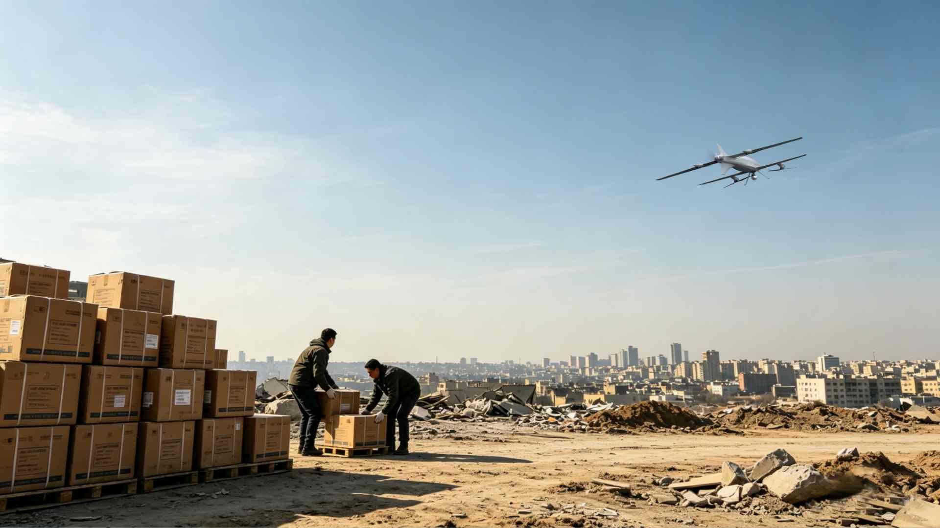
Long-Range Remote Facility Inspection

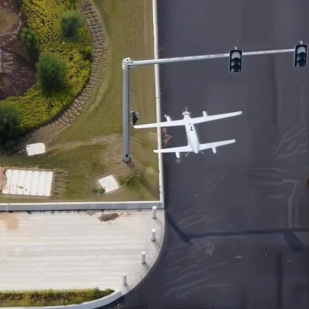
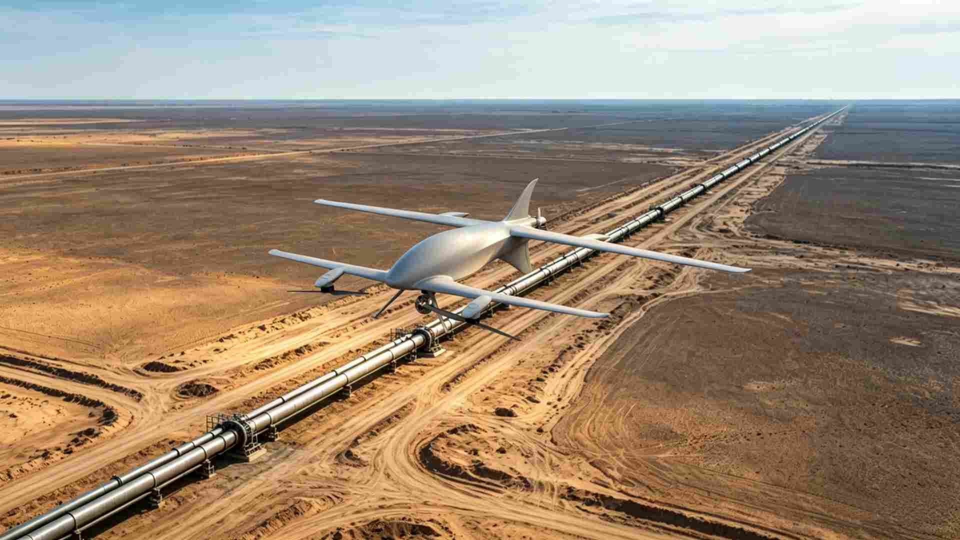
Supports inspection analysis of long oil and gas pipelines and transmission lines, right-of-way assessment, and recurring corridor inspection with fewer relocations. Optimized for VTOL operations across utility routes and geographically distributed aerial observation corridors.

Y18 pipeline corridor inspection
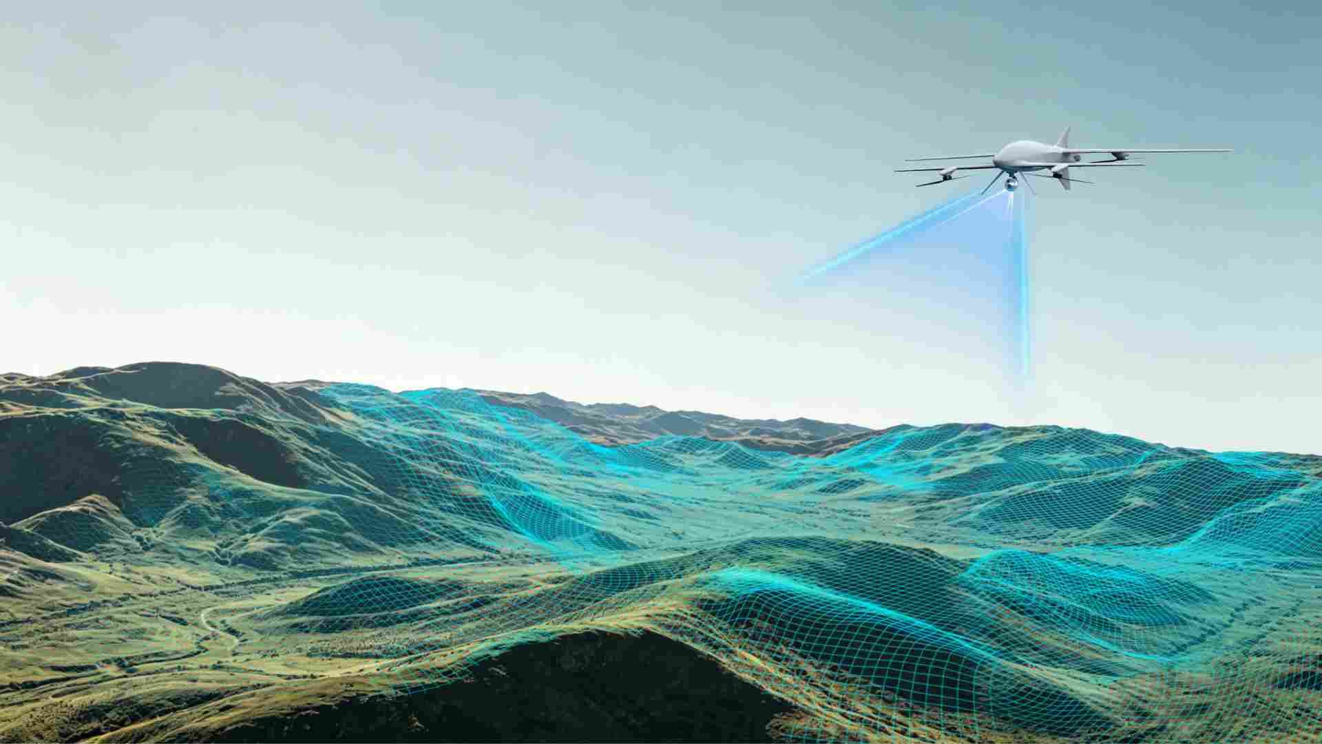
Y18 aerial terrain reconstruction

Aerial Terrain Reconstruction

Supports LiDAR mapping, drone integration, RGB imaging, and industrial photogrammetry for terrain reconstruction, GIS processing, and digital elevation model generation — ideal for engineering survey, terrain digitization, quarry analysis, and geospatial reconstruction projects.

Distributed Area Survey Operations

The hybrid endurance architecture enables geographically isolated aerial coverage across mining zones, forests, utility areas, and transmission corridors — suited to cross-regional infrastructure inspection deployment and remote facility assessment.

Y18 distributed area survey

Why a Hybrid Inspection Drone?

Extended Mission Time

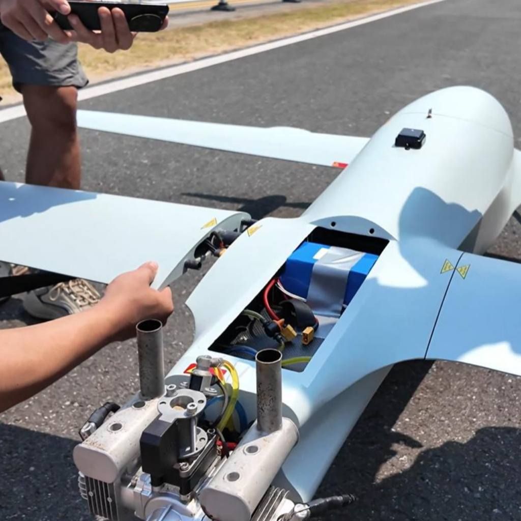
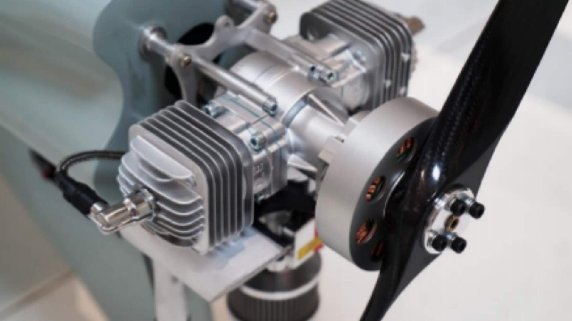
Hybrid power supports long aerial capture workflows and reduces battery dependence for greater endurance. The system is tuned for 9-hour long-endurance inspection operations and remote infrastructure observation efficiency.

Y18 hybrid engine

Tandem-Wing Aerodynamic Stability

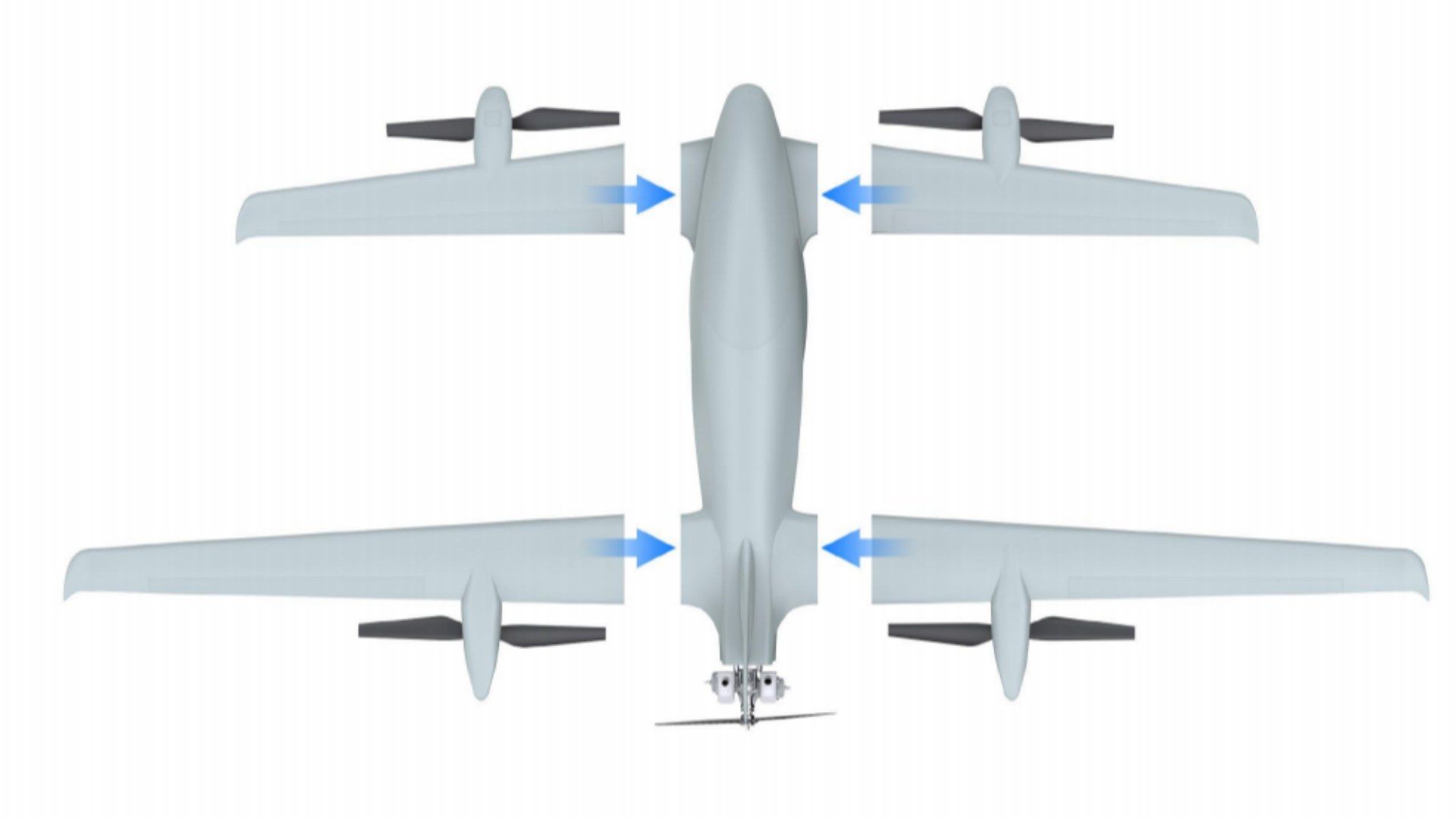
Tandem-wing configuration and pusher propulsion improve aerodynamic balance and cruise consistency during terrain capture and corridor observation.

Modular Payload Integration

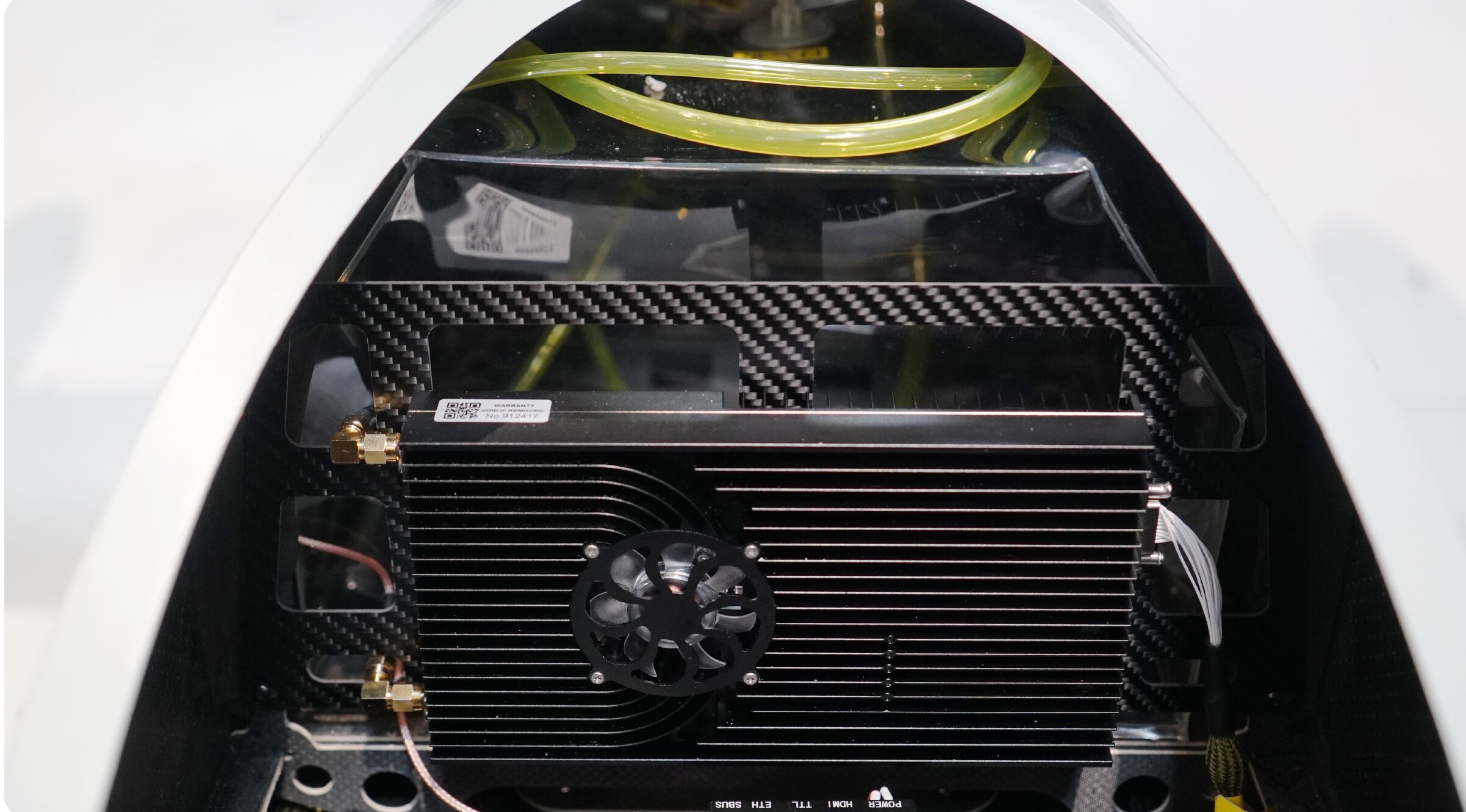
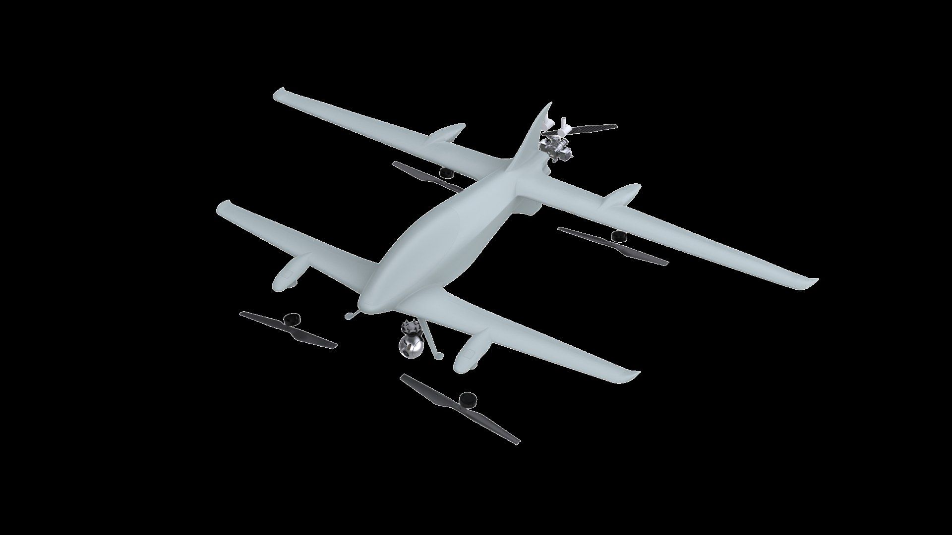
Modular payload structure enables rapid changeover between EO/IR systems, photogrammetry sensors, communications equipment, and aerial imaging payloads — reducing downtime between sorties. The platform also supports AI mapping and drone workflow integration for terrain analysis and automated geospatial processing.

Y18 modular payload

Rapid Remote Deployment

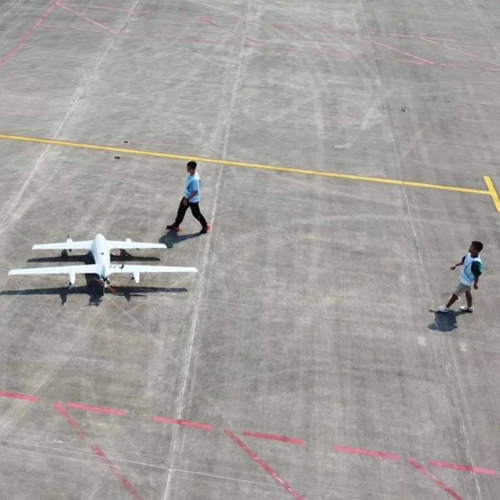
With a modular airframe and quick-assembly structure, Y18 can be launch-ready in about 10 minutes — supporting field teams that need rapid drone deployment at remote sites and time-sensitive aerial survey activities.

Y18 rapid fold deployment

Designed for Geospatial Work

Integrated fuel-electric hybrid architecture optimized for long-endurance mapping, inspection, and geospatial data capture.

Y18 hybrid energy management

Hybrid Energy Management

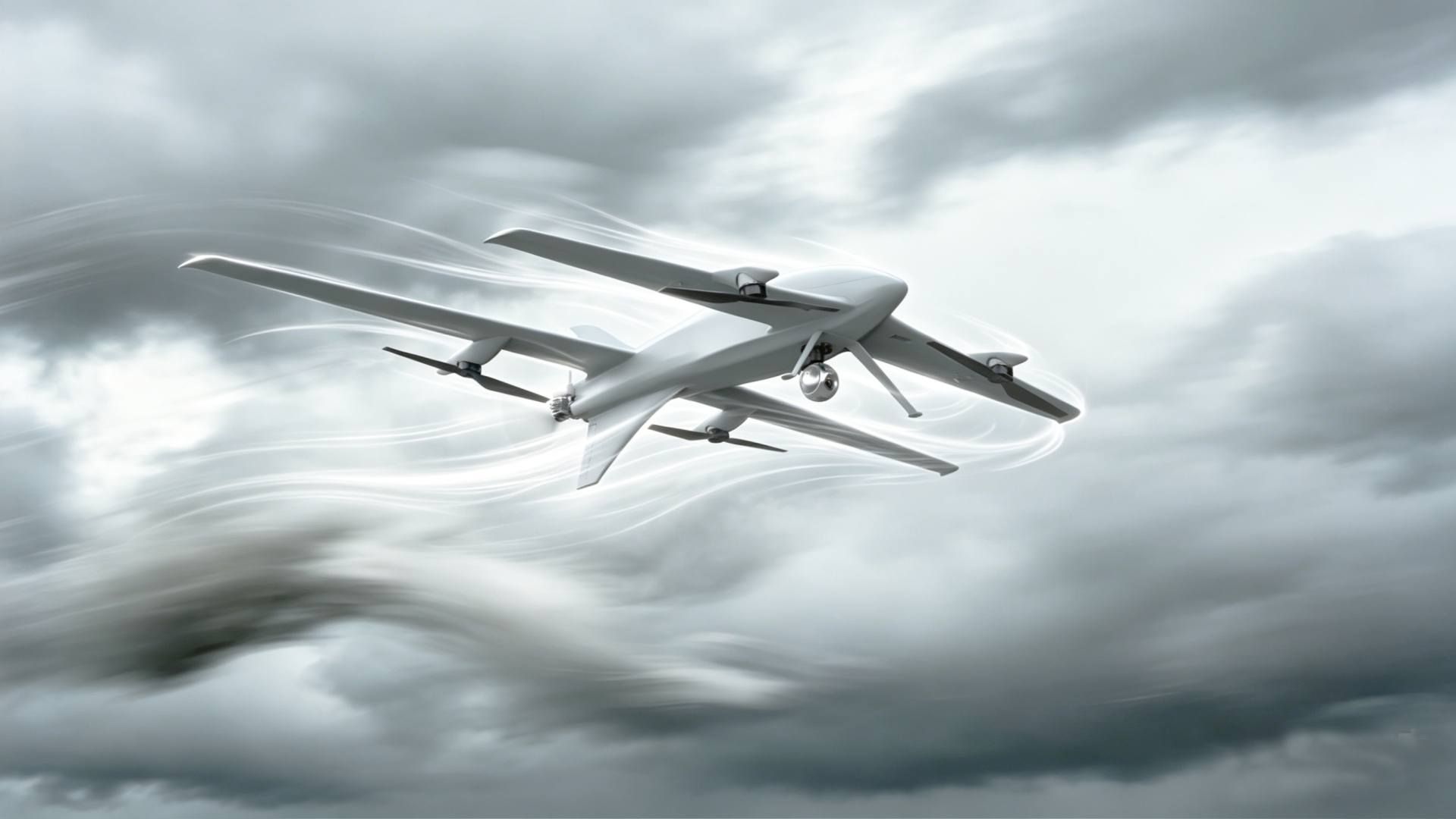
Integrated fuel-electric architecture automatically balances engine and battery use for multi-hour missions without manual intervention. Adaptive power allocation dynamically distributes energy between VTOL lift and fixed-wing cruise to maintain efficiency under payload and wind load.
Y18 integrated fuel-electric architecture

Integrated Fuel-Electric Architecture

Automatically balances engine and battery use during long aerial capture operations — no manual adjustment required — for continuous long-endurance missions.

Y18 adaptive energy allocation

Adaptive Energy Allocation

Dynamically allocates power between VTOL lift and fixed-wing forward flight to keep cruise behavior stable across varying payloads and wind conditions.

Y18 real-time energy monitoring

Real-Time Energy Monitoring

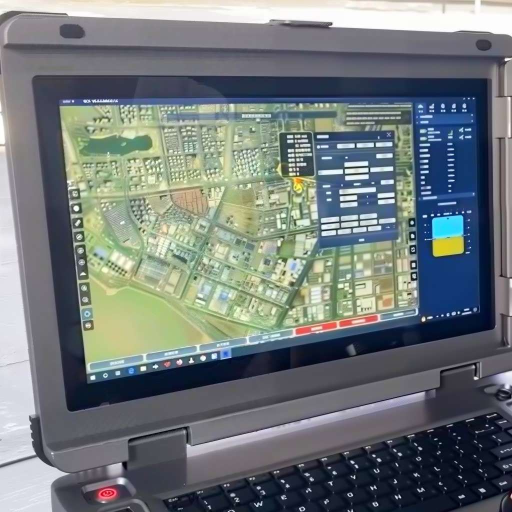
Provides actionable flight-state information and real-time fuel monitoring to reduce interruption risk on long aerial observation workflows.

Designed for Distributed Infrastructure Operations

Mobile logistics architecture
Integrated geospatial ecosystem
Training and operational readiness
Training & operational readiness
Scalable infrastructure adaptation

Specifications

Aircraft Specifications
Cruise speed90km/h
Max payload2kg
Max range1220km
Flight altitude3500m (VTOL) / 4500m (FW)
Max wind resistanceFlight level 6 / takeoff & landing level 5
Airframe protectionIPX4
Dimensions2001×3744×696mm
Endurance with payload9h@2kg
Fuel tank capacity13L

Contact Us

  • Learn more about AGR and our product lineup
  • Get industry solutions
  • Request product pricing
  • Advance your project
Contact Us